
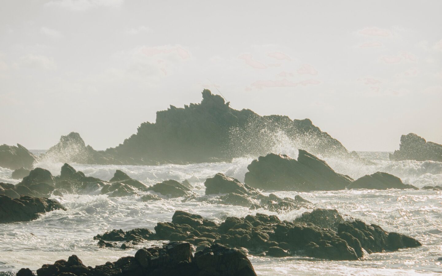
Legzira lies roughly 20 to 25 kilometres south of Mirleft. The trip is simple by car or agreed taxi, but the beach walk and view of the remaining arch depend on tide and coastal conditions.
Legzira is a landscape visit, not a guaranteed swim or unrestricted cliff walk. One of the famous arches remains; another collapsed in 2016. Plan around daylight and the sea rather than arriving at a fixed photo time.
Legzira at a glance
- From Mirleft: roughly 20-25 km south
- Best transport: car, day driver or whole taxi
- Main sight: red cliffs and the remaining natural arch
- Essential check: current tide and beach access
- Do not assume: lifeguards, safe swimming or stable cliffs
- Easy extension: Sidi Ifni, about 10 km farther south
How to get from Mirleft to Legzira
Follow the coastal road toward Sidi Ifni and use a current map pin for the visitor access area. Drivers should watch for the signed turn rather than trying to navigate directly onto the sand. Confirm parking and the final pedestrian route on arrival.
Without a car, a whole taxi or day driver is the least fragile plan. A bus or shared taxi may drop passengers near the turn-off, but the remaining walk and return are still your responsibility. Agree the pickup before descending.
Why the tide matters
The useful stretch of sand changes with the tide, and waves can cut off access around rock features. Check a reliable tide table for the closest station, then compare it with local advice because swell and beach shape also matter.
Arrive with time to turn back. Do not enter caves, walk beneath overhangs or continue around a headland simply because other visitors are doing it. A low-tide time is not a certificate of safety.
A sensible half-day plan
- Check tide, swell and the return transport before leaving Mirleft.
- Descend only by the current public route and observe the sea for several minutes.
- Walk toward the arch only while the route remains clearly open.
- Keep away from the base and edge of visibly fractured cliffs.
- Return with enough daylight for the stairs and road.
Combine Legzira with Sidi Ifni
Sidi Ifni adds lunch, the beach promenade and Art Deco streets without a large detour. A balanced day gives Legzira the favourable tide window and uses the other half for the town. Avoid adding several remote beaches as well.
If the tide or visibility is poor, continue to Sidi Ifni first and reconsider Legzira later. Conditions, not the order printed in an itinerary, should lead the day.
What to bring
- Shoes with grip for steps and uneven ground.
- Water, sun protection and a wind layer.
- Offline map pin and the driver’s number.
- A bag for all waste; bins may not be close.
- No valuables left visible in a parked vehicle.
Frequently asked questions
How far is Legzira from Mirleft?
The commonly used route is roughly 20 to 25 kilometres. Driving time varies with the start point, traffic and stops.
Are both Legzira arches still standing?
No. One well-known arch collapsed in 2016. A remaining natural arch is still associated with the beach.
Can I visit without a car?
Yes. An agreed taxi or driver is easiest. A roadside drop-off requires careful planning for the walk and return.
Is Legzira safe for swimming?
This guide cannot certify swimming conditions. It is open Atlantic coast; assess the sea locally and never infer safety from calm-looking water.
Sources and safety note
Access information was reviewed on 19 November 2026. Tide, swell, cliff condition and the public route must be checked for the visit day.
- Sidiifni.org: Legzira guide — remaining arch, access and tide context
- Destination.ma: Sidi Ifni and Legzira — regional transport and visit planning
- Tiznit.net: coastal day trip — route context